Eleven places to discover in Toamasina and along the east coast
A visual journey through eleven landscapes of Toamasina and Madagascar’s east coast. Scroll to explore the port, the palms, the Pangalanes canal and the lagoon.
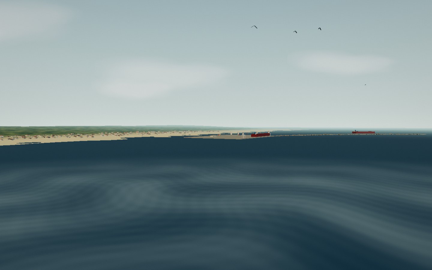
Toamasina — Tamatave to some, Port-aux-Prunes to the old sailors — watches over Madagascar’s east coast. The town reaches out on a sandy spit, sheltered by a coral reef that sifts the ocean into two passes. Offshore, the Île aux Prunes lighthouse guards the gap in the reef; facing the town, the great port opens the country to the world.
The Malagasy name Toamasina means “like salt”: the air, the spray and the light say the rest.
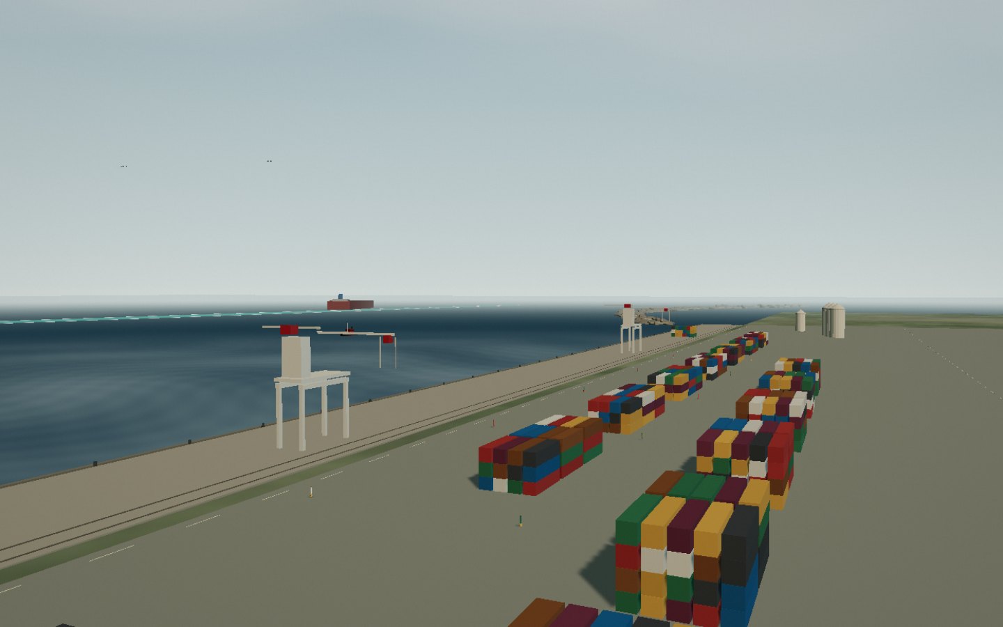
The port of Toamasina is Madagascar’s largest: four fifths of the country’s maritime trade passes through it. Begun in 1929 and completed in 1934, the moles stretch over a kilometre, from berth C2 to the container terminal. Behind walls of stacked boxes, gantry cranes lean over the ships while tugs carve their bows through the roadstead.
Extension works continue the breakwater and add a 470-metre deep-water quay beside the Hastie reef.
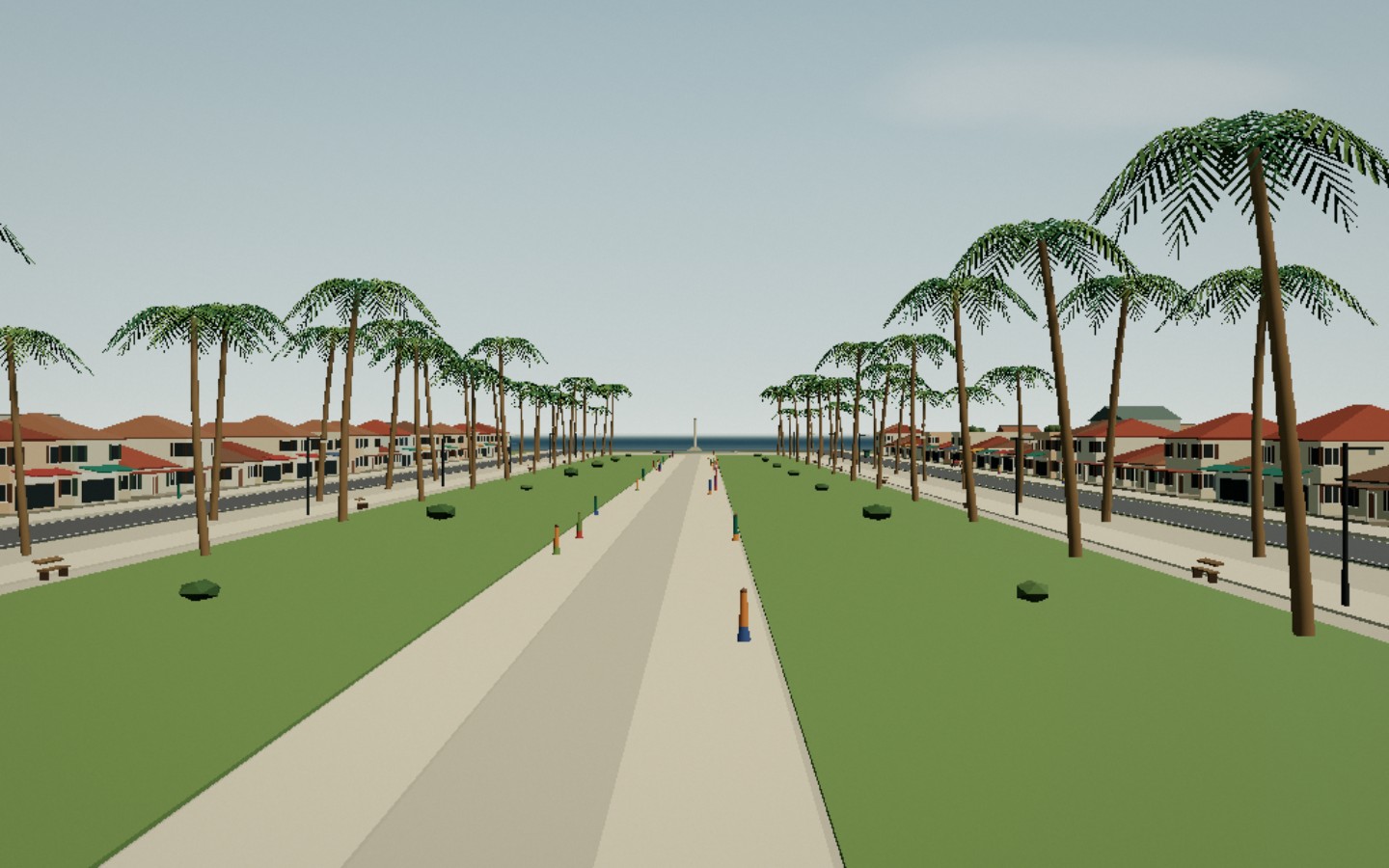
From one end of Avenue de l’Indépendance to the other, Toamasina tells its story: banks and ministries, colonial façades with louvred shutters, arcades where the shade stays cool. The avenue runs from the Town Hall to Place de la République, which finally opens onto the ocean. Between the two, royal palms stand guard while rickshaws race the tuk-tuks.
The avenue’s royal palms are a municipal affair in their own right: counted, tended and replaced with care.
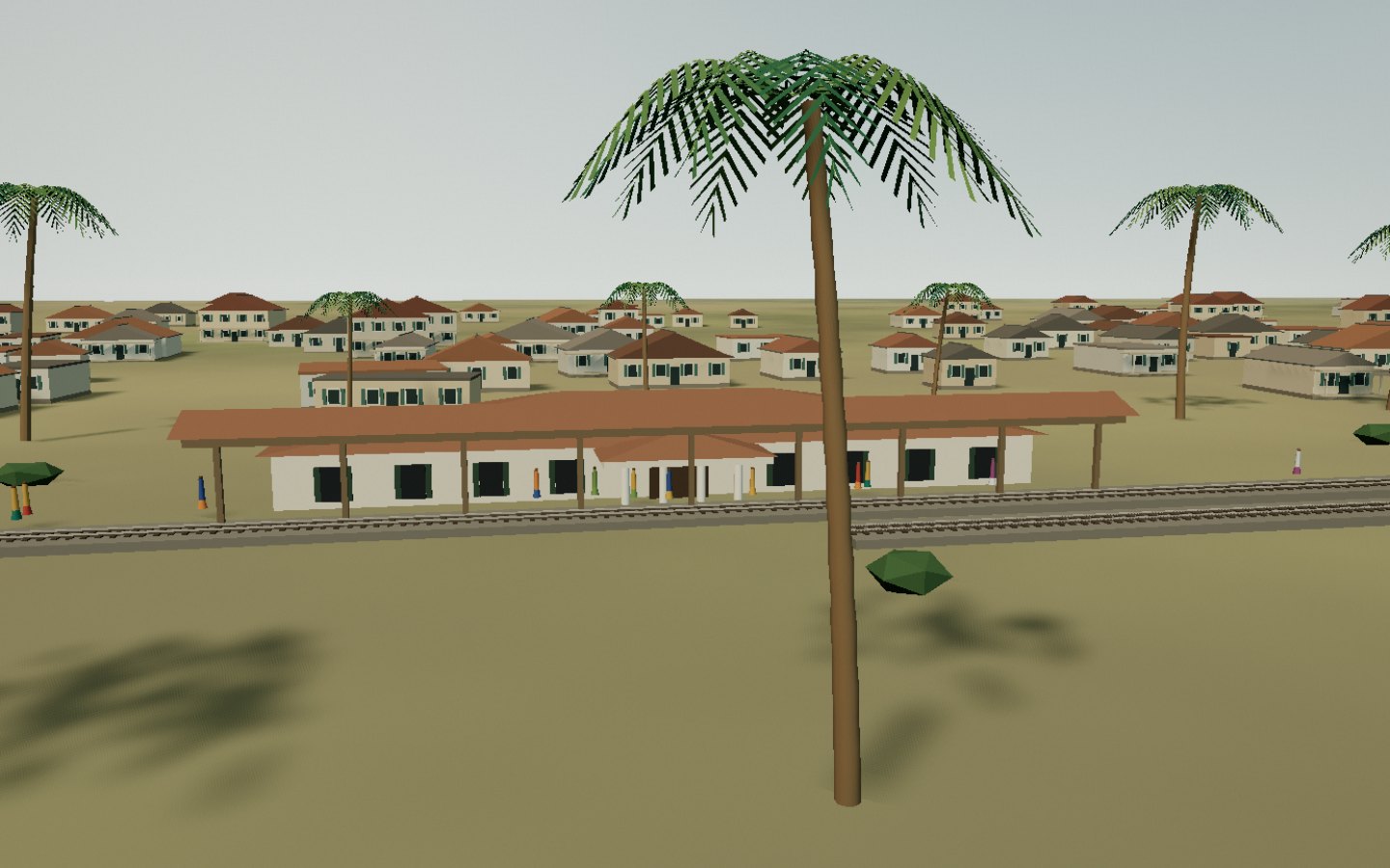
This is where the metre-gauge track of the Tananarive–Côte Est line begins: 372 kilometres built between 1901 and 1913 to link the capital to the ocean. Toamasina station still feels like the end of the world: an ochre colonial building, a deep awning over the platform, a buffer stop that marks the end — or the beginning — of the journey. Since 2023 a shuttle once again links the coast to Brickaville and Moramanga.
Nickel freight still rolls along the line; the passenger shuttle leaves for the highlands one day a week.
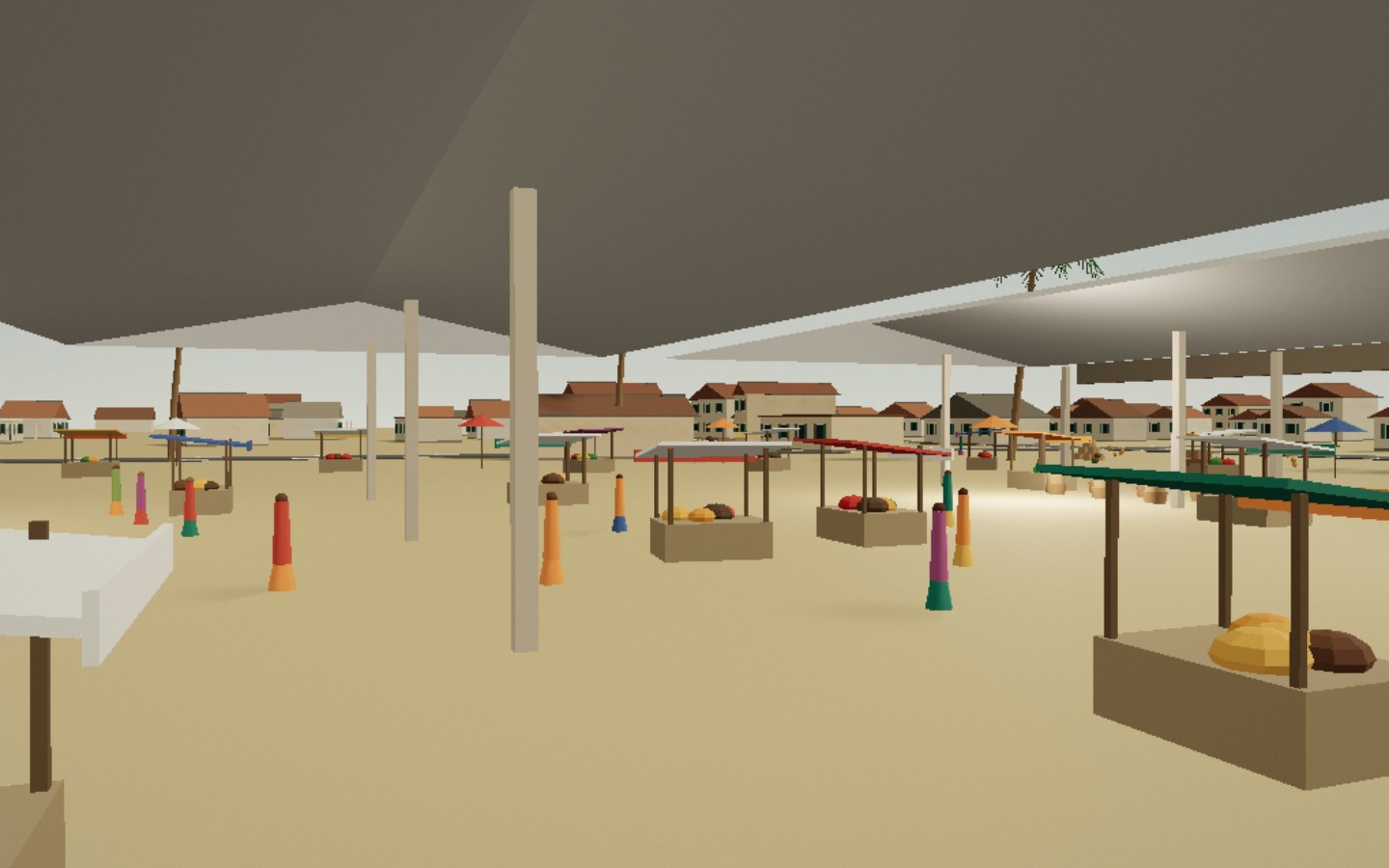
Bazary Be is the town trading and talking. Under the great hall rebuilt after the 2010 fire — 750 stalls across more than 6,000 square metres — rise pyramids of vanilla, cloves, cinnamon, wild pepper and turmeric. Around it, stalls spill over with lychees, mangoes and rambutan, and bright parasols make a second roof. People come for the market and stay for the show.
A living market: come in the morning, while the baskets are still arriving full.
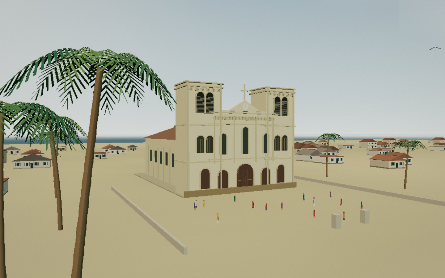
Saint-Joseph Cathedral has watched over Toamasina since 1934, consecrated a hundred years after the death of Father Henri de Solages, whose remains rest here. It is neo-Romanesque, 48 metres long and 19 wide, with a rose window on its axis and two square towers holding seven bells between them. Before it lie Boulevard Ratsimilaho and the sea: the eastern light does the rest.
A living place of worship: visit outside services, in silence.
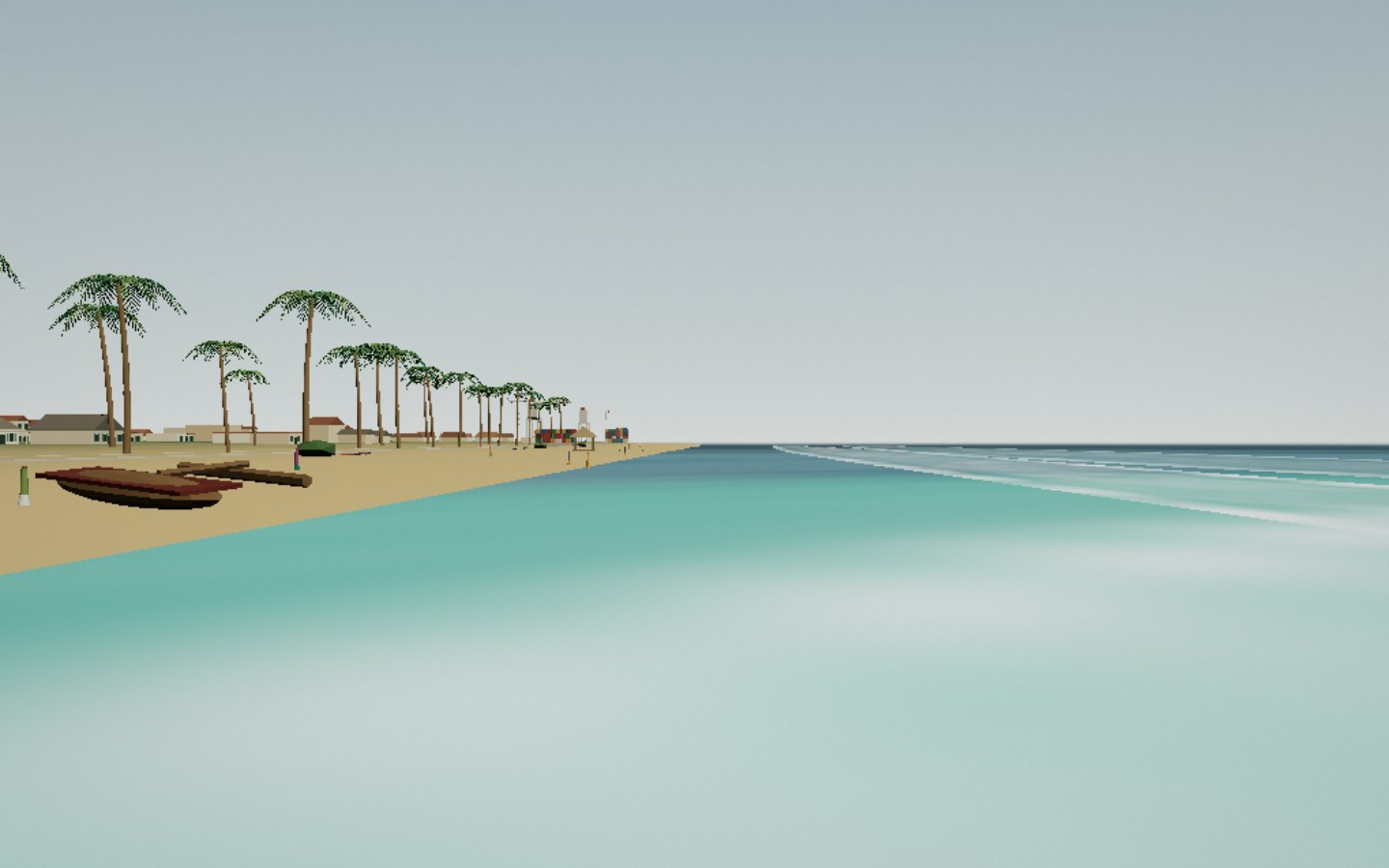
In Toamasina the beach is called Miami, and it is a working shore as much as a promenade. At dawn the pirogues come home, nets spread out in front of the Rabemananjara high school, and masikita skewers already smoke along Boulevard Ratsimilaho. Here the ocean is not sheltered by the reef: the swell breaks squarely — wonderful for surfers, a matter of care for swimmers.
Swim with caution: the roadstead’s waves are powerful and currents cannot be seen.
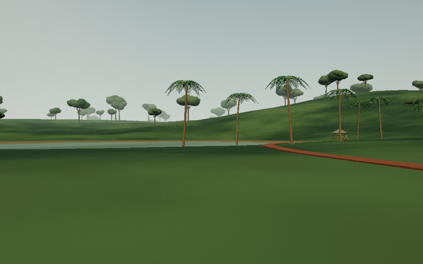
Forty minutes from town, Ivoloina changes everything: red soil, ferns, vanilla vines and the still water of Lake Flugence. A colonial agricultural station opened in 1897 and now a conservation park, it shelters twelve lemur species — five of them free-ranging — panther chameleons and tomato frogs. The nine-kilometre trail crosses eight hectares of park before plunging into plantations and forest.
A guided visit helps you spot the lemurs, those masters of camouflage.
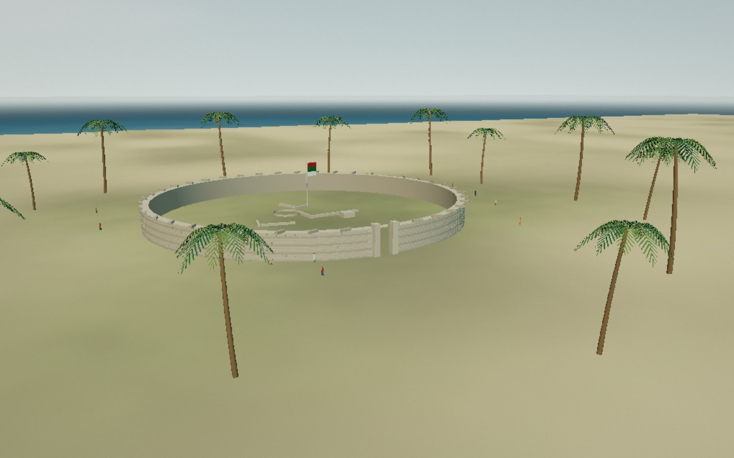
Sixty kilometres north, Foulpointe — Mahavelona — hides a circular fort raised under Radama I in the early nineteenth century: a ring of coral stone 77 metres across, where the outlines of the barracks, kitchen and prison can still be traced. Behind the fort, the white-sand beach is sheltered by a reef anchored a hundred and fifty metres offshore: the water stays calm, turquoise and perfect for swimming.
Fort Manda is open to visitors; its inner foundations ask for a little imagination — and respect.
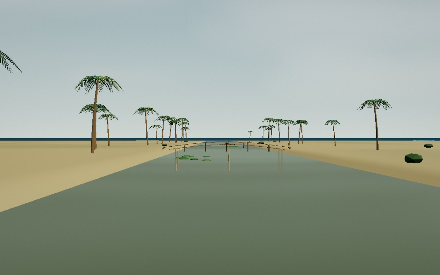
The Canal des Pangalanes runs along the east coast for six hundred and forty-five kilometres, from the port of Toamasina to Farafangana. Begun in 1896 under Gallieni to join lakes and rivers into a sheltered water road, it keeps its character: olive water, pirogues loaded with bananas, drifting water hyacinth, leaning coconut palms. At Ambila-Lemaitso, a simple ribbon of sand separates it from the thundering ocean.
The canal was dredged and reopened to navigation in 2021: pirogues and boats move along it again.
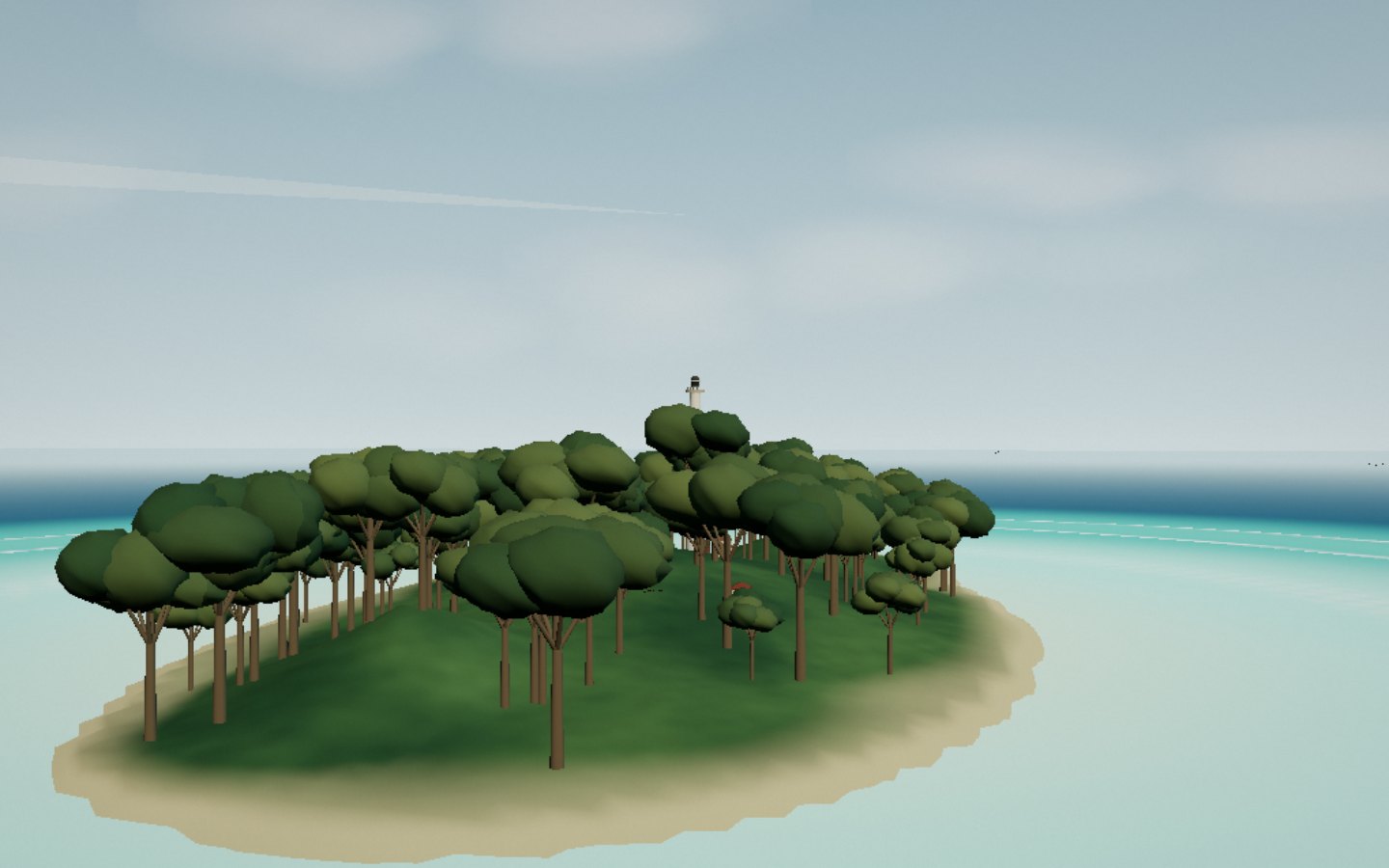
Ten nautical miles north of town, Île aux Prunes — Nosy Alanana — carries Africa’s tallest lighthouse: sixty metres of octagonal concrete, lit in 1933, whose three white flashes are visible for forty-five nautical miles. It marks the great gap in the reef through which ships enter the roadstead of Toamasina. Around it the lagoon spreads its turquoise patches while flying foxes wheel through the trees.
The lighthouse itself is closed to visitors; the island is discovered by sea, with a crew who know the pass.